What to Expect During a Professional Land Surveyor Service Visit
A professional land survey provides important information about a property's boundaries, dimensions, elevation, and physical features. Whether you are buying land, planning construction, resolving a boundary concern, or preparing for future development, understanding the surveying process can help you know what to expect. A land surveyor service involves several stages, from the initial consultation and property research to on-site measurements and the delivery of final documents. Each step contributes to accurate findings that support informed property decisions.
Preparing for the Land Survey
Understanding the Survey's Purpose
The process begins with an initial consultation to establish why the survey is needed. Property owners may request a survey when purchasing or selling land, addressing boundary disagreements, planning improvements, or meeting legal requirements. Identifying the purpose helps the surveyor determine which type of survey is appropriate and what information the client needs. A land surveyor service can be tailored to address these specific property concerns and provide the information needed for the next steps.
Different projects require different approaches. A boundary survey identifies property lines, while a topographic survey documents elevation changes and natural or man-made features. Construction staking establishes reference points for proposed structures and improvements. Selecting the appropriate land surveyor service ensures that the resulting information supports the property's intended use.
Gathering Property Information
Before visiting the property, surveyors review available documents, including deeds, previous surveys, property maps, and geographic records. These materials provide historical context and help identify possible discrepancies between recorded boundaries and existing conditions. Information from the property owner can also reveal previous disputes, improvements, or other details that may influence the survey.
Surveyors may also examine satellite images, geographic information systems (GIS), and topographic maps to understand the property's layout. This preliminary research helps determine which equipment and measurement methods will be most useful during fieldwork.
Establishing Expectations and Timelines
Clear communication helps clients understand the scope of the project, anticipated costs, and potential challenges. During the consultation, surveyors can explain what the work involves and whether additional documentation or permissions will be necessary. According to Legal Clarity, land surveys can take several weeks, ranging from five to fifteen business days for smaller plots, and potentially several months for large-scale or complex projects. Property size, accessibility, terrain, and project requirements can all influence the schedule.
Once the scope is established, the surveyor coordinates a site visit with the client and any other necessary parties. Weather conditions, property access, and the availability of contractors or other professionals may affect scheduling. Discussing these considerations early helps establish realistic expectations.
Completing Pre-Visit Preparations
Reviewing Records and Geographic Data
Thorough preparation allows surveyors to approach fieldwork with a better understanding of the property. Reviewing historical records and previous surveys can help identify boundary discrepancies, recorded easements, and changes that have occurred over time. These details provide useful reference points when comparing existing documentation with current measurements.
Geographic information also helps surveyors anticipate natural and structural features that may affect their work. Elevation changes, vegetation, waterways, roads, and nearby buildings can influence how measurements are collected. Reviewing these conditions beforehand helps the team develop an efficient survey strategy and prepare for the specific requirements of the land surveyor service.
Preparing Equipment and Securing Access
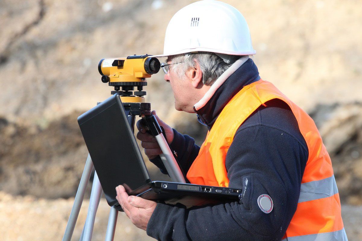
Surveyors use specialized instruments to collect precise measurements. Depending on the project, equipment may include GPS receivers, total stations, laser scanners, and unmanned aerial vehicles. Before the site visit, these instruments are checked, calibrated, and prepared for the conditions expected in the field. Having reliable equipment and backup supplies helps minimize interruptions and measurement errors.
Access permissions and applicable permits should also be addressed before work begins. Some properties require coordination with neighboring landowners, particularly when surveyors need to access shared boundary areas. Confirming these arrangements ahead of time helps prevent unnecessary delays and misunderstandings.
Conducting the On-Site Survey
Establishing Reference Points
When the survey team arrives, one of its first responsibilities is establishing survey control points. These reference positions provide a consistent foundation for measurements throughout the property. Surveyors use precise instruments, including GPS equipment and total stations, to establish these locations and maintain accuracy across the survey area.
Properly positioned control points help connect individual measurements into a reliable representation of the property. They are especially important for larger parcels or projects involving multiple measurements and elevations.
Measuring Boundaries and Property Features
After establishing reference points, surveyors begin collecting measurements. They examine property corners, boundary markers, structures, fences, roads, and other relevant features. When conducting a boundary survey, they compare physical evidence with deeds, recorded plats, and previous survey information to determine the property's legal boundaries.
A professional land surveyor service may also involve documenting elevation changes, drainage patterns, and other topographic characteristics. These details are particularly valuable for construction and development projects because they provide information about the existing conditions of the land.
Identifying Potential Discrepancies
During fieldwork, surveyors may discover inconsistencies between property records and physical conditions. For example, an existing fence might not follow the recorded boundary, or an improvement may extend beyond an established property line. These observations require careful examination rather than assumptions about ownership or encroachment.
Surveyors document relevant findings and compare them with available records. If additional research or clarification is necessary, they may discuss the issue with the client before completing the final documentation. Identifying potential concerns during the site visit helps ensure that important details are not overlooked.
Reviewing Survey Findings and Documentation
Processing and Verifying Measurements
Once fieldwork is complete, surveyors organize the collected measurements and process the information using specialized software. They compare field observations with property records, reference points, and other relevant data to verify consistency. This review helps identify possible errors or missing information before the final survey is prepared. These verification steps are an important part of a reliable land surveyor service.
The amount of analysis required depends on the property's size and the survey's purpose. More complicated projects may involve additional calculations, mapping, and coordination with other professionals. Careful verification is an essential part of producing dependable results.
Preparing the Final Survey Documents
The final deliverables typically include a survey drawing or plat showing the relevant property information. Depending on the project, these documents may identify boundary lines, dimensions, easements, structures, access points, and topographic features. The surveyor may also provide explanations of significant findings or conditions that require attention.
Clients should review the completed documents and ask questions about unfamiliar measurements, markings, or observations. Understanding the results makes it easier to use the information when making property decisions, communicating with contractors, or addressing legal and planning requirements.
Discussing Recommendations and Next Steps
After delivering the results, the surveyor can explain how the findings relate to the client's original goals. For example, a property owner preparing for construction may need to share the survey with an architect, engineer, or contractor. Someone purchasing land may use the documentation to better understand the property's boundaries and recorded features.
If the survey identifies a potential boundary disagreement or another concern, additional research or professional guidance may be appropriate. The survey provides documented information that can help clients determine which steps to take next. Keeping copies of the final documents is also important because they may be useful for future improvements, transactions, or property-related discussions.
Getting the Most From Your Land Survey
Knowing what happens during a survey visit makes it easier to prepare, communicate expectations, and understand the final results. From reviewing property records to establishing reference points and verifying measurements, every stage contributes to a clearer picture of the land. A professional land surveyor service can provide valuable information for property transactions, construction planning, boundary questions, and long-term land management.
Choosing an experienced surveying provider also gives property owners an opportunity to ask questions and better understand the information being collected. For dependable guidance throughout the surveying process, contact Nafis & Young Engineers & Surveyors to discuss your property and arrange a land surveyor service that meets your project requirements.